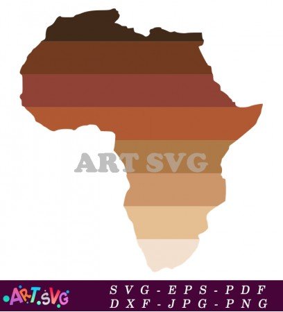
Africa Map Illustration of the Continent SVG
- Product Code: Africa Map Illustration of the Continent SVG
- Availability: In Stock
-
$1.99
*PLEASE NOTE:
This is a DIGITAL item for INSTANT DOWNLOAD! No PHYSICAL ITEM will be mailed! This is for use for cutting machines, (Cricut, Silhouette, etc.) Make sure your machine is compatible before purchasing!
*WHAT YOU GET:
You will get 6 digital files: SVG | EPS | PDF | DXF | JPG | PNG
*HOW TO RECEIVE YOUR FILES:
After payment is confirmed, download the files by going to "Your Account" > "Download
_______________________________________________________________
This illustration captures the essence of Africa, highlighting its unique landscapes, cultures, and ecological zones.
From the majestic Sahara Desert in the north to the lush rainforests of the Congo Basin, the map encapsulates the various environments that make up the continent.
The illustration typically includes key geographical features such as mountain ranges, rivers, and lakes.
The Atlas Mountains in the northwest stand tall, while the Great Rift Valley stretches across the eastern part of the continent.
Notable rivers like the Nile, which is one of the longest rivers in the world, and the Congo River, known for its vast basin, are prominently featured.
These water bodies not only shape the landscape but also play a vital role in the livelihoods of the millions who reside along their banks.
In addition to physical geography, the "Africa Map Illustration of the Continent" also often highlights political boundaries, showcasing the 54 countries that make up Africa.
Each country is typically represented with distinct colors, allowing viewers to easily identify and differentiate between them.
This color coding also enhances the visual appeal of the map, making it a useful educational tool for understanding the political geography of the continent.
The illustration can also include major cities, capitals, and important landmarks, offering a comprehensive overview of Africa's urban centers and cultural hubs.
Cities like Cairo, Lagos, Nairobi, and Cape Town are often marked, showcasing their significance in terms of population, economy, and cultural heritage.
Important historical sites, such as the Pyramids of Giza and the ruins of Great Zimbabwe, may also be depicted, enriching the narrative of Africa’s historical significance.
Moreover, the "Africa Map Illustration of the Continent" may incorporate symbols or icons representing various cultural aspects, wildlife, and natural resources.
For instance, images of elephants, lions, and giraffes might be used to symbolize the continent's renowned wildlife, while icons for oil, gold, and diamonds represent Africa's abundant natural resources.
These elements not only add visual interest but also provide context about the continent's biodiversity and economic assets.
Color schemes in the illustration can vary, with some maps opting for bright, bold colors that capture the vibrant spirit of Africa, while others may use more subdued tones for a classic look.
The choice of colors often reflects the cultural diversity found within the continent, representing different ethnic groups, languages, and traditions.
Furthermore, the "Africa Map Illustration of the Continent" serves educational purposes beyond mere aesthetics.
It can be used in classrooms to teach students about geography, history, and cultural studies.
Teachers can utilize the map to discuss Africa's ecological zones, such as savannas, deserts, and rainforests, as well as the continent's complex social and political landscapes.
In digital formats, this illustration can enhance websites, educational platforms, and social media content, making information about Africa more accessible and engaging.
By using this map in various contexts, users can promote a better understanding of Africa's geography, cultures, and global significance.
Overall, the "Africa Map Illustration of the Continent" is a valuable resource that encapsulates the beauty and complexity of Africa.
Whether for educational purposes, artistic appreciation, or cultural exploration, this illustration offers a window into the diverse and multifaceted nature of the African continent.
It invites viewers to explore the intricate tapestry of landscapes, peoples, and histories that define Africa, encouraging a deeper appreciation for its role in the global community.
Related Products
Tags: Africa, map, illustration, continent, geography, cartography, Africa map, countries, landmarks, topography, culture, travel, tourism, wildlife, nature, history, regions, cities, landscapes, African heritage, borders, demographics, climate, ecosystems, resources, exploration, adventure, art, design, education, learning, visuals, representation, symbols, ethnic groups, languages, traditions, agriculture, economy, urban areas, rural areas, national parks, habitats, flora, fauna, conservation, architecture, infrastructure, transport, trade, communication, community, festivals, events, migration, tribes, ancestry, indigenous, diversity, unity, sustainability, innovation.


